 Jeffrey Miller has a masters degree in Geography from California State University East Bay. He also works as a Vice President at a reputable geospatial company in the San Francisco Bay Area. While satellite and manned aircraft have been the standard platforms of image acquisition for many years, unmanned aerial systems (UAS) are revolutionizing the industry.
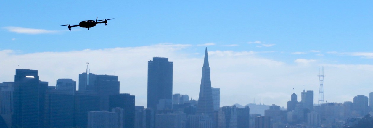
iPhone Drone Imagery was created to document and record Jeff’s thesis research which was conducted from November 2013 – June 2016. This website explores “what’s possible?” when a consumer grade UAS, equipped with an iPhone 5s, is used to acquire aerial imagery in a traditional photogrammetric fashion. Methodologies for flight planning, image processing, and horizontal/vertical accuracy assessments are covered below. Cost, time, and accuracy were considered when evaluating the feasibility of using this system and methodology workflow.
Additionally, this site is meant to be a place to share, comment, and analyze trends of the unmanned aerial systems industry. The core revolves around geospatial applications, however, other uses of UAS are also discussed.
